Suggestion: Integrate with ScanSat for landing target selection
cgapeart opened this issue · 0 comments

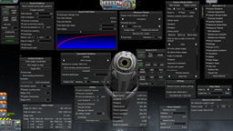
ISA MapSat finds the 'anomolies' for visiting, and MechJab landing guidance helps you get there. At the moment, you have to pick the coordinates off the MapSat map with a mouse over, and convert it from decimal degrees to Degrees,Minutes,Seconds for the landing guidance system, or else try to visually match it against the map view of the planet to get a near by landing.
The first suggestion is to allow for decimal degree entry into the landing guidance computer. Negative values should be automatically switched to be S or W, so that they can be typed in.
The second (and more intense) suggestion would be to set up a way that an external plug-in like the ISA MapSat can transfer coordinates into MechJeb, or a way that MechJeb can grab coordinates from the ISA MapSat map screen.